This page provides a brief overview regarding the Republican River basin in Colorado, quick facts of water use within the basin, a brief description of water resource agencies and programs, and contact information. More contact information regarding the Republican River in Colorado can be found here and links below.
Republican River Basin description:
Colorado is an upstream state under the Compact, with its allocations split primarily between Colorado and Kansas. Some quick facts regarding the Republican River in Colorado are:
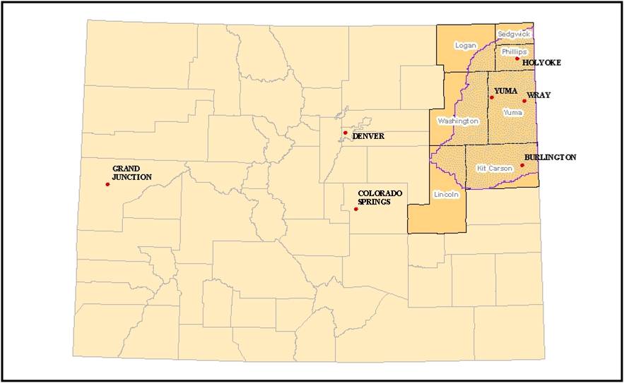
- Located in the Eastern Plains of Colorado
- Approximately 7,000 square miles in area (slightly smaller than New Jersey)
- Population centers are the Towns of Wray, Yuma and Burlington
- Predominately agricultural economy
- Approximately 600,000 acres irrigated annually with ground water
- Irrigation from approximately 4,000 high-capacity wells
- Minimal surface water irrigation
- Overlies a portion of the High Plains or Ogallala aquifer
- Ground Water within the Republican River Basin is Designated Ground Water and is under the authority of the Ground Water Commission (GWC)
- The Republican River Basin is within a portion of the Northern High Plains Designated Ground Water Basin
- Surface water use is administered by the Division Engineer, in Water Division One, not the GWC
- The use of water, both surface and ground, is also subject to the Republican River Compact, an interstate agreement between the States of Colorado, Nebraska, and Kansas.
Click here for a detailed CO RR Basin map
Additional Data and GIS Maps: Link
Colorado water resources agencies and programs:
Division of Water Resources: Link
The Colorado Division of Water Resources (DWR), also known as the Office of the State Engineer, administers water rights, issues water well permits, represents Colorado in interstate water compact proceedings, monitors streamflow and water use, approves construction and repair of dams and performs dam safety inspections, issues licenses for well drillers and assures the safe and proper construction of water wells, and maintains numerous databases of Colorado water information.
Republican River Water Conservation District : Link
The Republican River Water Conservation District is an independent entity that is entirely self-governed. The Colorado State Legislature created the District in 2004 to assure local involvement in the State’s efforts to comply with the Republican River Compact between Colorado, Kansas, and Nebraska. The fifteen members of the Board of Directors are residents of the basin appointed by the Commissioners of local counties, Boards of Ground Water Management Districts, and the Colorado Ground Water Commission.
The District promotes conservation through voluntary participation. By utilizing federal programs, the District has brought in millions of federal dollars to offer financial incentives to producers who voluntarily retire water rights to reduce consumptive use to the stream flows. These water retirements reinforce the District’s efforts to conserve the Ogallala Aquifer for future generations.
The District also owns and operates the Colorado Compliance Pipeline, which delivers augmentation water to downstream states.
Ground Water Management Districts
Much of the Republican River Basin lies within the Northern High Plains Designated Basin. Click here for more information about the several Ground Water Management Districts within the basin.